THE IMPORTANCE OF COLLECTING GROUND LEVEL SCANS
THE IMPORTANCE OF COLLECTING GROUND LEVEL FLOOR DATA
Date: 10th January 2023
When was the last time you collected ground level data on a laser scanning project?
For many engineers, it’s something they try to avoid or don’t always consider doing. But, without doing this, data can be missed and the overall quality of your scan can be impacted.
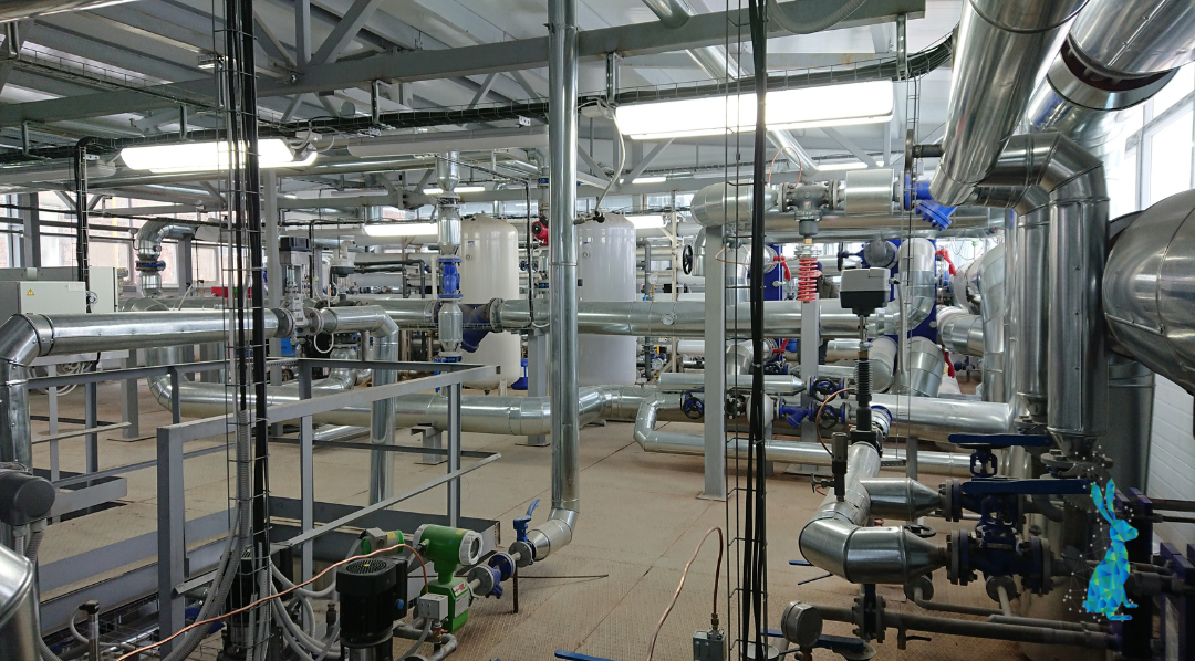
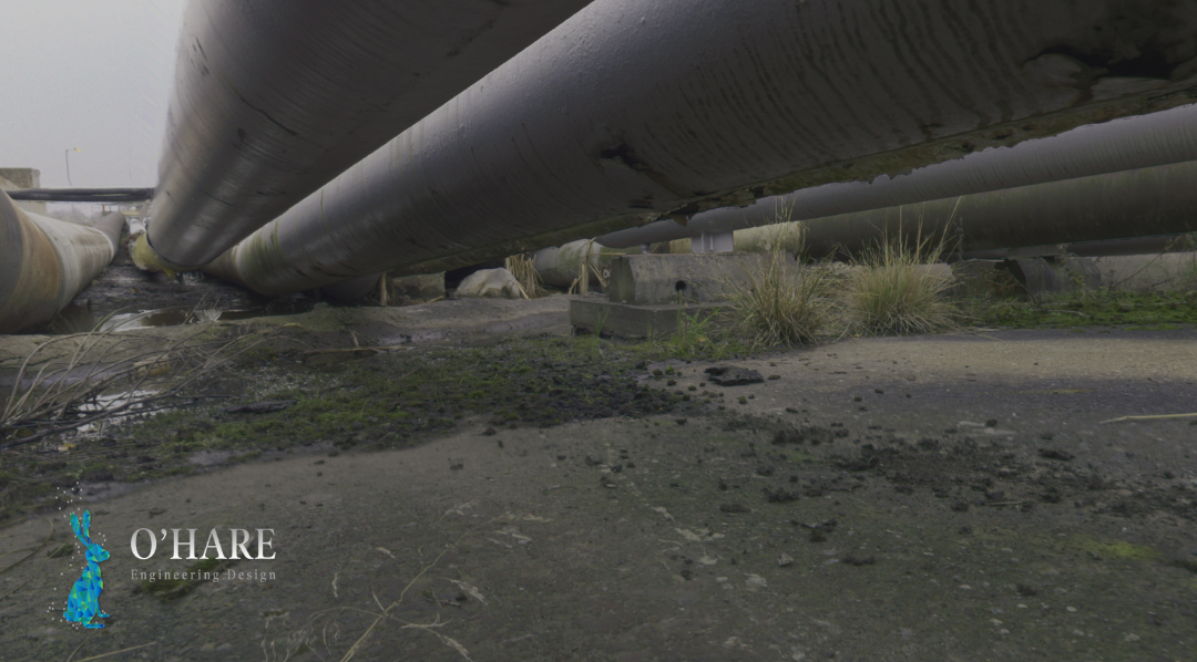
Whether it’s a full site you’re scanning or a particular piece of equipment, a lot of valuable information often sits at ground level, just out of the line of sight. For example, if you’re trying to get a lot of information about the flange formation or the valve holes then you’ll need to get as low as possible as the scanner can only see what you can see in effect.
So, why are people wary of collecting ground level scan data?
Ultimately, it comes down to the engineer. But, some of the more common reasons I’ve heard for not collecting this data include;
- Not wanting to put expensive equipment on the ground on a busy site and risk it being broken or damaged.
- Being under tight time pressures and not being able to fit these additional scans in.
- Scans taken at ground level are less efficient at building a complete image of the site.
- Additional post processing time spent removing activity from live sites.
- Being limited by line of sight vision so uneven terrain can impact the overall scan quality.
These are all valid concerns when you’re working with expensive and specialist equipment, so is there a way to reduce the risk that ground level scans pose to equipment and data quality?
3 tips for efficient ground level laser scanning…
- Scope out the site first to identify safe, level and protected scanning positions that will still enable you to collect all the data you need.
- Take ground level scans at the start or the end of the day when there are fewer people around to accidentally damage the equipment or affect the results. Sometimes it’s also worth collecting data outside of the site's working hours (if possible) to reduce traffic on site that might affect scan quality.
- Make sure the laser scanner you are using has a suitable angular resolution for the job at hand. This will mean that you can be more efficient with the data you’re collecting.
For more information about our laser scanning processes and what to expect when our engineers are on site, take a look at our 3D laser scanning page or get in touch.